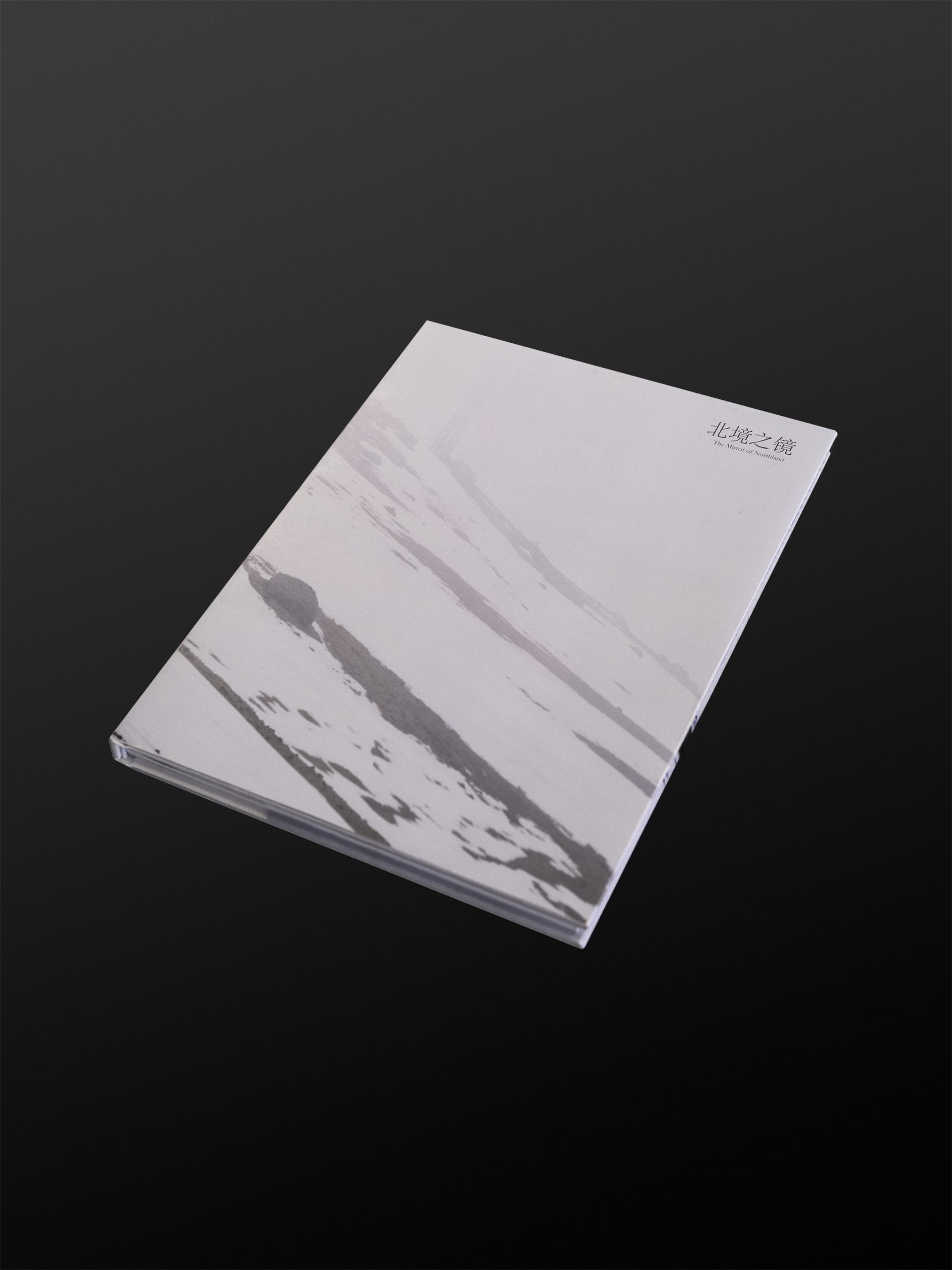
The Mirror of Northland
In 1682, Emperor Kangxi made his first visit to the Changbai Mountain region. He instructed his officials to document the local cultural and natural resources and to create detailed maps of the surrounding mountains and rivers. According to his biographies, Kangxi frequently referred to Changbai Mountain as the Northern Border. As time has passed, Kangxi’s map and other documents have been lost, along with his personal observations and experiences of Changbai Mountain, leaving behind a blank page in history. These lost records leave a question: how has Changbai Mountain, as seen by Kangxi over 300 years ago, changed in comparison to the present? Carrying this question in mind, I set out from Beijing, the capital of the Qing Dynasty, following Emperor Kangxi’s footsteps to Changbai Mountain. Through field research, I explored the region’s cultural history, natural landscapes, and many other aspects. From a modern perspective, I attempted offer a timeless atlas of Changbai Mountain, presented through both the linear narrative of a photography book and the spatial storytelling of photographic installations.
北境之镜
公元1682年,康熙皇帝首次拜访长白山地区,他让大臣记录了当地的人文与自然资源,并绘制了周边的山脉、河流图,后来在传记中多次将长白山地区称为北境。随着时间的流逝,当年康熙绘制的地图早已流失,当年所发生的一切我们也无从考证,300多年前康熙眼中的长白山与今天相比是否发生了巨大的变化?我带着康熙给我的这些疑问从清朝的都城北京出发。一路追随着康熙皇帝的脚步来到了长白山地区,我通过田地调研的形式对长白山地区的人文历史,自然景观等多方面进行综合性的考察。以一个现代人的视角,从摄影书的线性叙述和摄影装置的空间叙事共同展现了一个全面的长白山图鉴。
